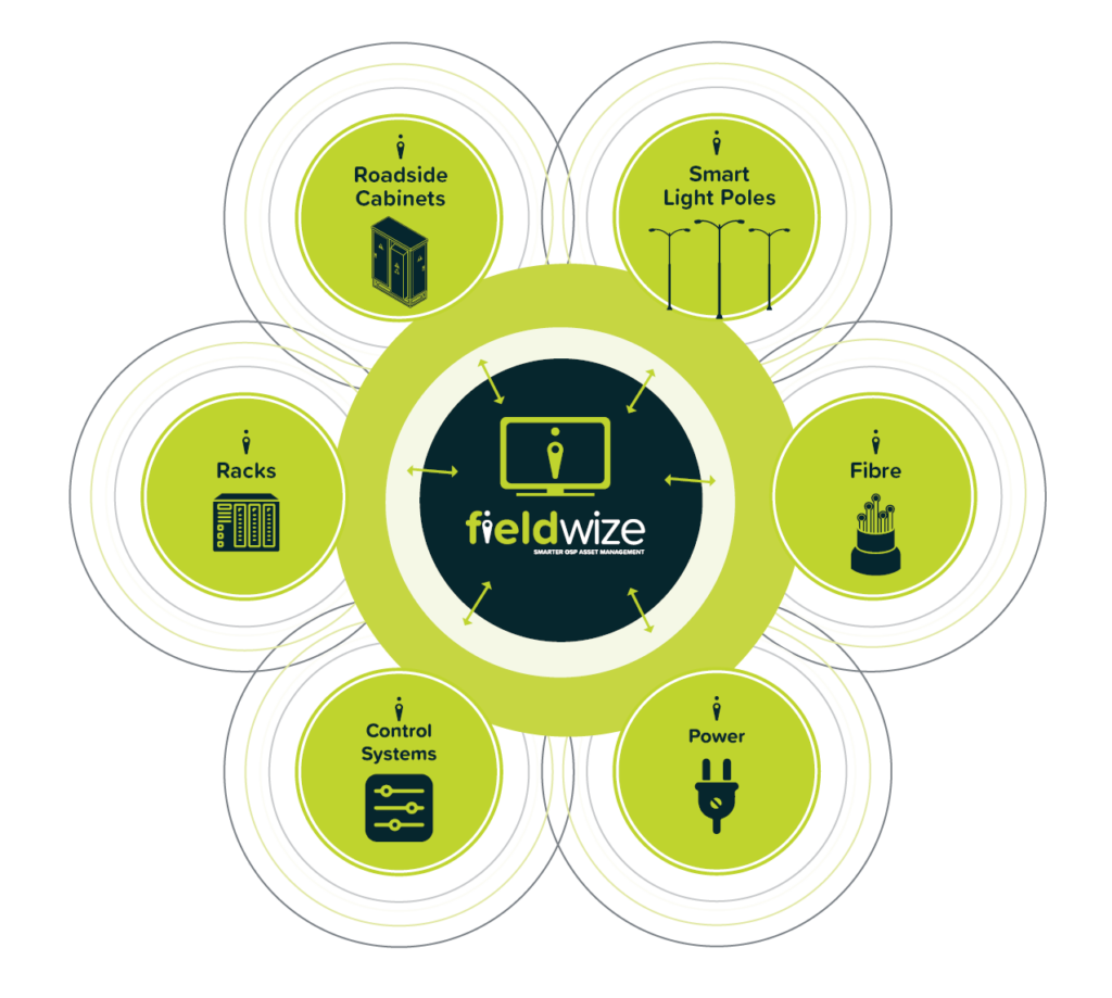
Easy, holistic outside plant records to improve your productivity
Know what you have and how it connects.
Move away from spreadsheets, out-of-date network diagrams and of photos to one smart, easy to deploy, centralised system, giving you instant visibility across your entire network.
Fieldwize is a unique platform which brings clarity, control and visibility to the lowest level of infrastructure in the field, from one place. It is able to show intricate levels of detail on geospatial asset information, connectivity, contract data and 3D asset imaging.
Fieldwize is able to drill down to the lowest level of information, for example, to a single fibre pair to analyse which IT service runs over the fibre, and how it is connected.
Fieldwize offers an unprecedented level of control along with significant operational advantages.
Fieldwize will help you manage and effectively maximise the value of your network today, and for the future, by:
Improving the operational management and recording of external fibre and copper cables, along with related customer records
Accessing sites spread across large geographical areas
Providing increased infrastructure performance
Allowing multi-user, multi-level access to network records, and
Providing this data from one central place
Let’s show you how it works
Industry Specialties
Fieldwize is an ideal solution for organisations that run large numbers of external assets across widespread geographic areas, like:
Government Agencies
Airports
Universities/ Institutes
Mining Energy
Smart Cities
About us
The key benefit of implementing Fieldwize is to establish control via one single, centralised source of data. This advantage not only delivers operational savings to entities and organisations, but allows efficient planning for future expansions and ongoing decision-making.
Fieldwize offers an unprecedented level of control along with significant operational advantages.
Additional benefits include:
Easy-to-use drill down functionality
Accurate asset knowledge
Location information at a glance
Enhanced budget management
Effective preplanning
Quicker fault location identification
Reduced downtime
Increased uptime
Reduced site visits
Visibility and visual aids
Flexibility and enhancements as requirements evolve
Some of our clients
Find out more
Want to know more? Just fill in the details below, click submit, and we will send a brochure direct to your inbox.